As part of an EPA-funded project, NUI Galway researchers Collette…
Wetland SnapShot app wants you to submit your photos of wetlands…
With World Wetlands Day just around the corner on Sunday 2nd February, the Map of Irish Wetlands team are asking people to help take a snapshot of their favourite wetland to include on the Map of Irish Wetlands.
The team have just launched a Wetland SnapShot app which runs on mobile devices as a well as tablets and desktop computers.
To access the app just click bit.ly/WetlandSnapShot
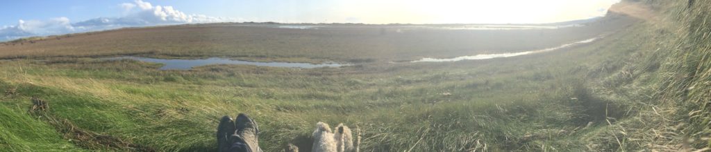
The Map of Irish Wetlands shows the location and information on over 12,800 wetlands across Ireland, 4,500 of which are illustrated with a photograph. These images have been kindly submitted by individuals and local groups, who are acknowledged in the map pop up window.
There are still many wetlands without a photograph out there, and we would like to tap into the many great mobile phone photographers around the country to help us get a snap shot of these wonderful places. No matter how big or small! It’s a great opportunity for photographers and wildlife enthusiasts to put their wetland snap shot on the Map of Irish Wetlands, and help raise awareness of the beauty of wetlands
To get the Wetland SnapShot app use this link (bit.ly/WetlandSnapShot) and run it through the browser on your phone or download the free Survey123 field app from the iOS App Store or Google Play and run it through this.
Links will guide you depending on how you want to operate the Wetland SnapShot app. If you decide to download the free Survey123 field app and run the Wetland SnapShot app through this it will always be on your phone… for that photo you would like to submit. It’s really very easy to operate
Peter Foss
All photographs published on the Map of Irish Wetlands will include a acknowledgement to the photographer, should they wish to provide their names.
So take that snap shot of a wetland in your area… your local park… on your favourite wildlife walking route…. on your farm … or your local golf course… wherever !
Peter Foss & Patrick Crushell
Learn more:
Wetlands to visit around Ireland
Submit your photo: bit.ly/WetlandSnapShot
Twitter: @WetlandSurveys