The overall theme of Catchment Science 2019, hosted by the…
Catchment Communities: Cloughaneely Angling Association’s critical source identification project
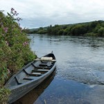
In 2019, Cloughaneely Angling Association’s (CAA) Catchment Management Group prepared a 5-year plan for the Ray and Tullaghobegley catchments in Donegal. Catchment studies in 2019 and 2020 identified peat erosion as a significant pressure causing impact on water quality and stream bed condition in the study areas. CAA are now working to identify critical source areas of sediment and select potential areas for mitigation and remediation. Sediment can cause issues by changing the flow and habitat of rivers, transporting excess nutrients and covering important gravel areas where fish spawn.
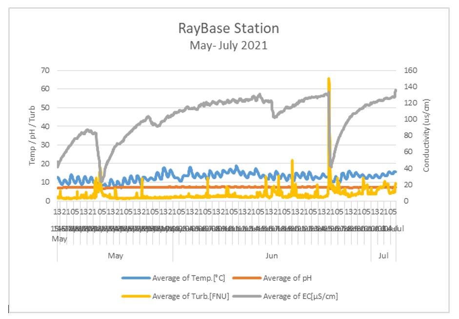
The Cloughaneely Angling Association in Donegal are working on a turbidity monitoring project in order to identify critical source areas of sediment erosion and select potential areas for mitigation and remediation in the Ray and Tullaghobegley catchments, supported by LAWPRO’s Community Water Fund. Turbidity will be used as a proxy for suspended solids in tracing critical source areas of sediment erosion.
Turbidity will be monitored regularly and during high water events at selected nodes where rivers and streams meet in the mid to lower catchments. As indicated by the turbidity data, monitoring will progress upwards to lower order streams to identify critical source areas of diffuse sediment loss.
Areas of suitable size and characteristics will be identified for possible mitigation and remediation measures. Measures will be appropriate to the sites chosen and based on discussions with other stakeholders. These measures could include revegetation of eroded bare surfaces, damming of drainage ditches, introduction of buffers at drain ends and along high sediment export drains, staged settlement ponds along steep and eroding bog roads, introduction of leaky dams, minor instream works such as replacement of removed mid-channel boulders to increase the hydro-stochasticity (randomness and variety) of the flows in the stream channels.
Turbidity measurements will also be used in responding to ad-hoc events that might identify point sources of suspended solids. This would complement the approach above of identifying diffuse critical source areas for mitigation. To complete the initial turbidity survey and identify suitable critical source areas the group needed to buy enough instruments to allow sufficient coverage of catchment areas, particularly during relatively short-term high flow events.
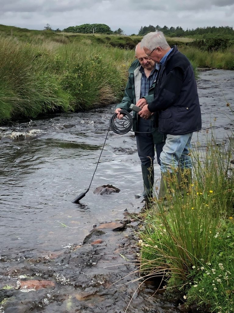
Members of the local community in the Cloughaneely have been trained in the use of the equipment and are assisting in taking samples around the catchments. Installation of a permanent continuous turbidity sensor downstream in the catchment is providing important baseline information and will allow effectiveness of future mitigation and remediation works to be assessed.
Cloughaneely Catchment Management Group is also involved in providing financial, technical and logistical assistance to the CAA. Members of this group include Donegal County Council, Inland Fisheries Ireland, National Parks and Wildlife Service, local TidyTowns, local businesses and LAWPRO.
Learn more:
www.cloughaneelyanglingassociation.com