
Despite the obvious differences in climate and landscape, the experience…
Catchments Newsletter Series – Stranooden Group Water Scheme, Protecting Water at Source
Featured in the 2026 Catchments Newsletter.
Stranooden Group Water Scheme (SGWS) gets its water from a surface water supply lake (White Lough) on the Dromore River System, which is part of the Erne catchment. The pressures for pollution in the catchment come from both rural and urban sources, principally agriculture along with the municipal and domestic waste water systems within the catchment. The pollutants of concern include phosphates, pesticides (MCPA) and sediment, which is typical of a catchment with poorly draining soils. SGWS started its source protection works in 2019, in a pilot project (funded by the Department of Housing and Rural Affairs) to restore water quality in a surface water catchment, their source lake Baird Shore (White Lake, Rockcorry) has very high total phosphorus levels.
The project, which was completed in 2023 funded 4 elements which included: catchment wide sampling, farm focused services, physical mitigation measures and communications.
- Catchment wide sampling: SGWS carried out sampling catchment wide to better understand the potential frequency of MCPA and other pollutants in the water, this also included kick sampling and river walks so measures would be targeted to ensure the “right measure in the right place”.
- Farm-focused services: initiatives to mitigate against acid herbicide (MCPA) contamination which included a weed wiping service and a boom sprayer service/ calibration and certification. The engagement with the farming community initially involved a group meeting to promote and supply services, the group water scheme was well placed to make contacts so
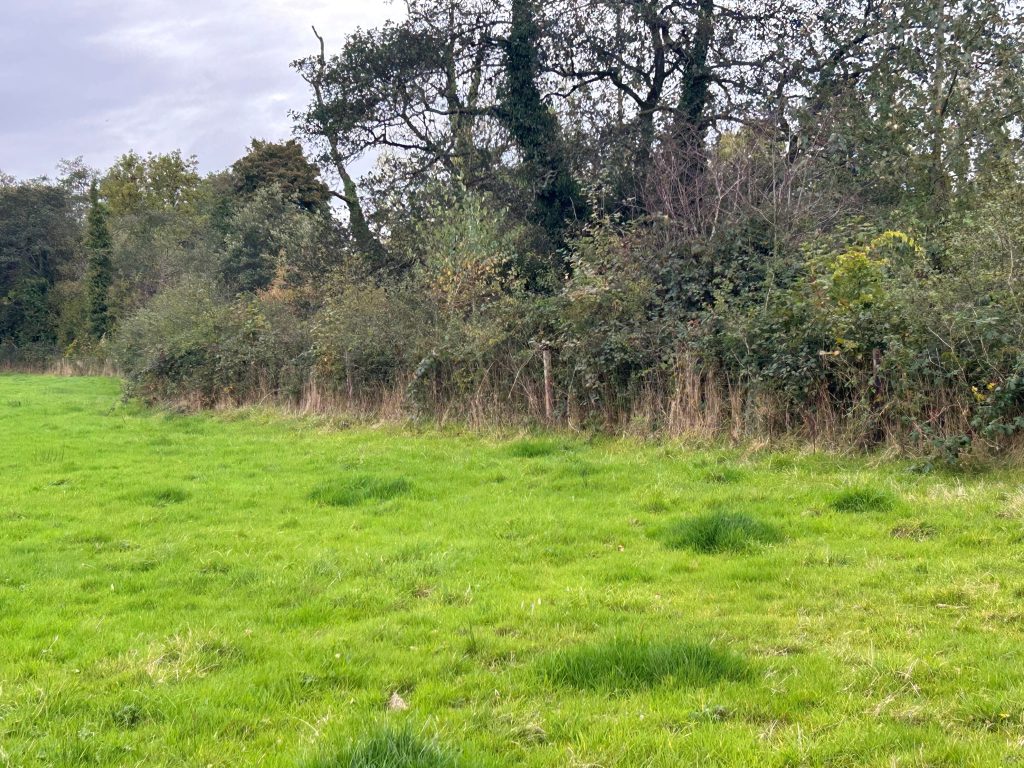
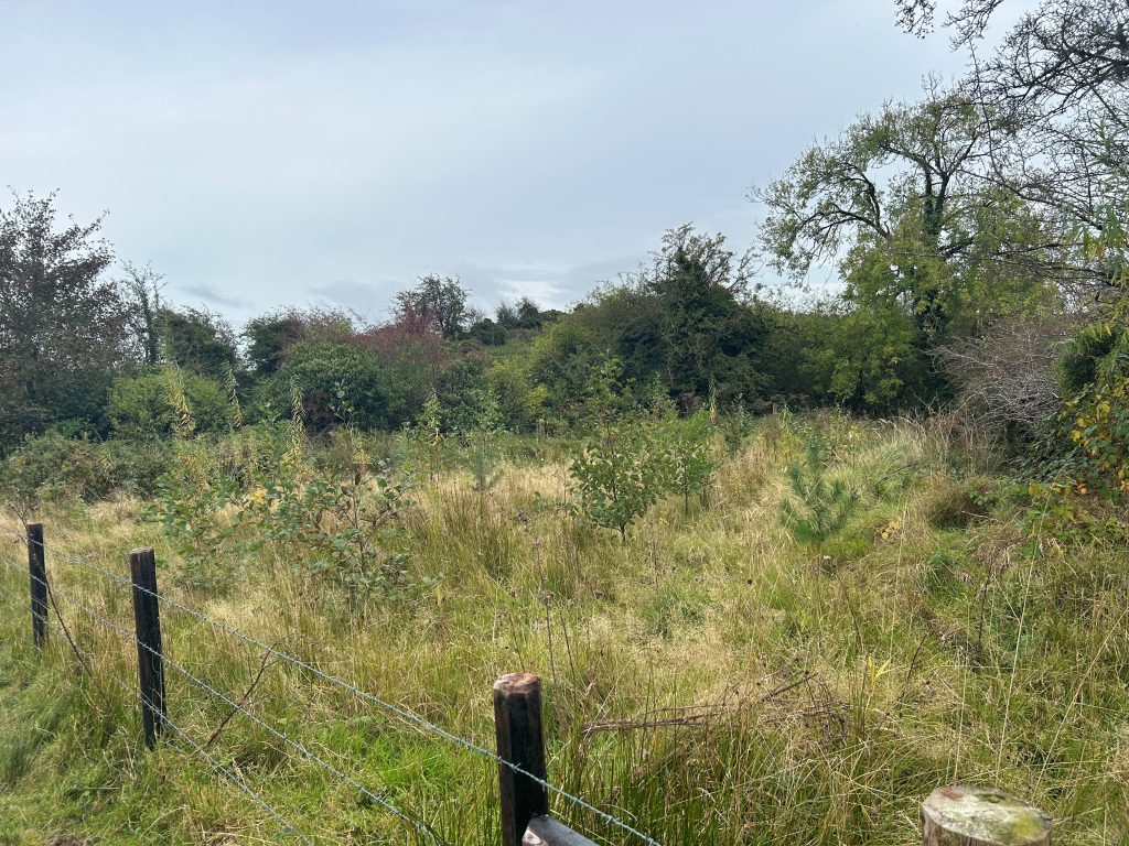
engagement was primarily carried out on the farm, face to face or through word of mouth. - Physical Mitigation Measures: the project completed installation of 12.920km of livestock fencing, 4.335km of hedging, 2.050km of bank erosion measures and 5,580m² of willow buffer. The project did also promote various woodland schemes
which to date has resulted in 8ha of woodland for water to date in the catchment. - Communications: concentrated on raising the profile of the river system locally, on-street signage, engagement with schools, Community Enterprise schemes, tidy towns and GAA clubs. The message was to highlight the continuing decline of the
water quality in the river system and the hazards of pesticides (MCPA) to water, a number of initiatives including in the local primary schools “Plant a tree and go pesticide free”. The greatest legacy of the project was the forming of a local river trust organisation “The Friends of the Dromore” which continues to be active and has been instrumental in promoting a “blueway”, engaging with the whole community on protecting and improving the Dromore river and getting the Erne river trust back up and running.
Learnings from project
- Offering “free” weed wiping services can result in the use of pesticides in land parcels that would never have been treated previously.
- Use only single strand electric fence with permanent posts for bovines.
- When major physical mitigation measures were installed on land parcels the works were vulnerable to cattle access from the other side of the river which became a priority to rectify.
Two years on and the SGWS are still promoting source protection measures as they see the supplying of potable water and source protection as part of the process for providing good quality water supply. All measures installed during the pilot project are maintained and inspected every year and we continue to provide a weed wiping service. Our efforts are primarily focused on the
Annamacneill stream (a 5km tributary that through our sampling was found to be supplying 60% of the phosphate load in the most vulnerable sub-catchment), source protection works in the stream include:
- Leading a septic tank project with DKIT and UCD trialling a nature based solution for septic tanks in poorly draining soils, using the plant Russian comfrey to take up nutrients.
- Works to install physical mitigation measures primarily investing from our own funds with help from the community water development fund from LAWPRO Community water funding stream.
- SGWS have been designated agents in the EIP (Farming for Water) and currently devising plans for numerous farms using nature based solutions including ponds/ woodlands/bunded drains etc. throughout the catchment.
The latest EPA report shows positive results for our efforts
White Lough is one of five monitored lakes which had very high average total phosphorus concentrations (greater than 0.1 mg/l P) in 2022 2024, all in the northeast of the country: Four lakes had values as high or higher compared to the previous assessment, with the exception of White Lough, which has shown an improving trend, despite still having high phosphate concentrations.
Pesticides (MCPA) continues to be a major issue, especially during the growing season in the catchment, despite our efforts to mitigate against the contamination, the promotion and installation of vegetated buffer zones we hope, will help to make this less of an issue, however as long as MCPA is cheap and easy to purchase and mobile on poorly draining soils, this will be an uphill struggle.
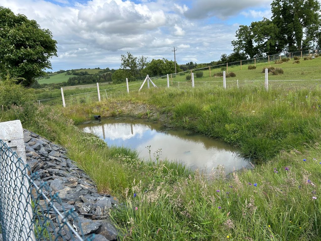
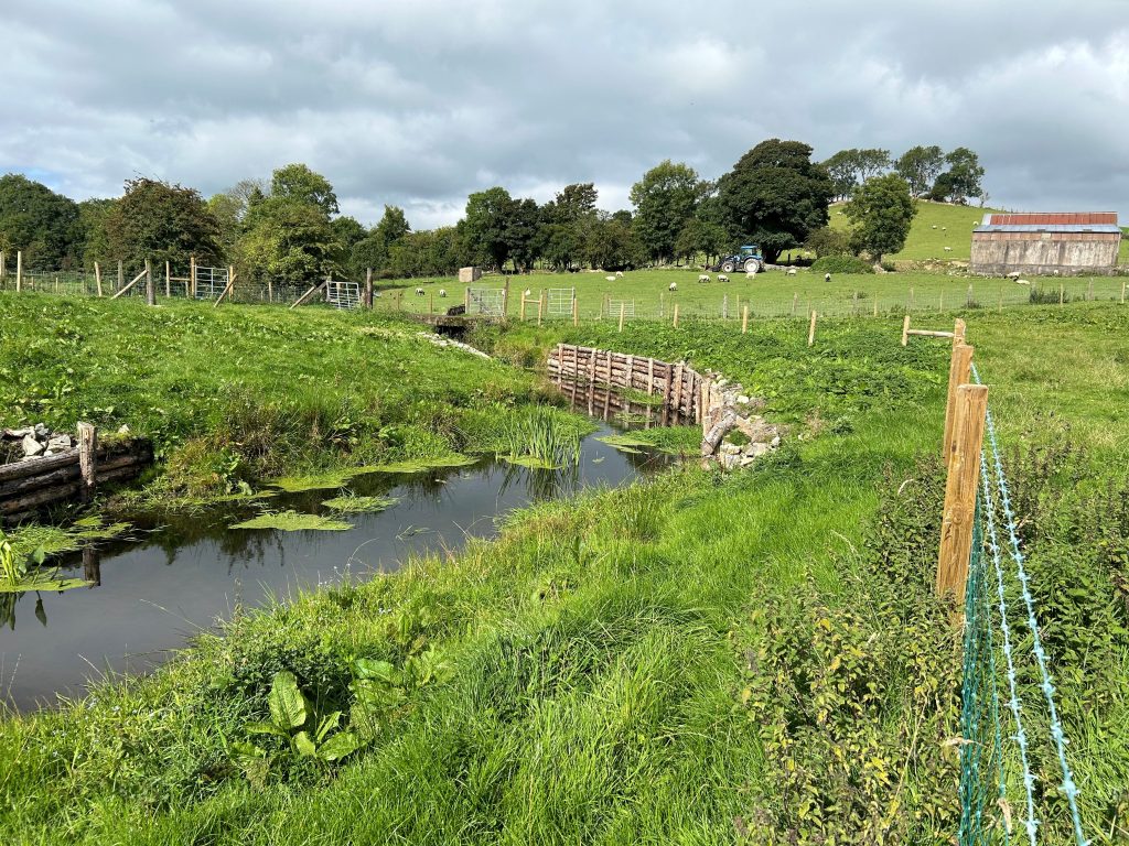
Visible impacts from the measures implemented include:
- Less livestock in the rivers.
- More hedgerow/woodlands and buffer zones obvious in the catchment.
- Less bank erosion and litter black spots have been cleaned.
In 2024, the Irish Wildlife Trust (Monaghan branch) along with the Friends of the Dromore were awarded funding through the
Heritage Council, the NPWS and biodiversity office of Monaghan County council, to map our river catchment as a potential
biodiversity corridor. We produced a range of mapping tools to help coordinate our activities. Working with professional GIS researcher Dominic Robinson, we constructed an online database with key information such as biodiversity records and pollution impact points and from this developed a range of printable maps. Satellite sourced national datasets on the streams and wetlands
were found to be often inaccurate or missed minor streams, so the core group had to get out and ‘ground truth’, find and validate the gaps, which shows local knowledge as a key resource. One of the most effective communication tools has turned out to be a 3D model of the river catchment, developed and designed by artist Mel Galley. It offers the viewer a highly effective way to
understand the catchment as a physical water-basin. It aids spatial imagination and gives shape to how things are connected by the river.
To see how the waters follow the twists and falls of the landscape contours has an informative impact that beats any explaining through words. It draws out a level of fascination from everyone who encounters it. There’s usually a period of silence where each person finds a place they know, followed by tracing the run of the river there, then inevitably an intense conversation ensues around the character and ‘logic’ of our shared and particular wet-landscape. Part of the effectiveness may be how it literally gathers people around it as a focus, creating a sense of ‘finding your place’ and making connections, in a process that is akin to how the river itself operates.
Related Posts
About author